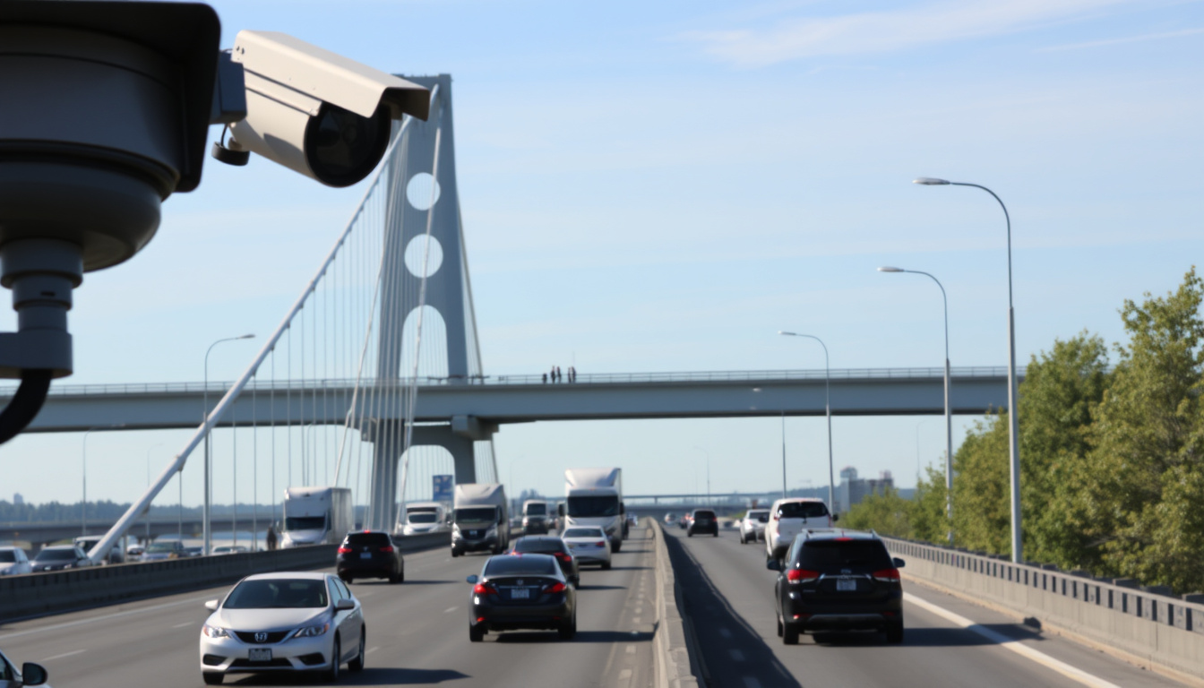
You’re about to cross Pont Laviolette, the vital 2.7-kilometre artery connecting Trois-Rivières to Bécancour, and you need to know what the traffic looks like right now. Between ongoing construction on the central slab and winter weather surprises, a quick glance at a camera or a map can save you 20 minutes. This article pulls together the official camera feeds, community reports, and real-time tools so you can decide whether to take the bridge or find an alternate route.
Bridge: Pont Laviolette (Pont Trois-Rivières) ·
Length: 2.7 km ·
Lanes: 4 ·
Route: Autoroute 40 ·
Opened: 1967 ·
Region: Mauricie–Centre-du-Québec
Quick snapshot
- Quebec 511 provides a dedicated Pont Laviolette camera page (Quebec 511, government traffic authority)
- Central slab replacement project began in 2023 and continues into 2025 (Wikipedia, general reference)
- Bridge has 4 lanes, speed limit 100 km/h (Wikipedia, general reference)
- Exact completion date of the central slab replacement (Wikipedia, general reference)
- Current lane closure status — only available in real time via cameras (Quebec 511, government traffic authority)
- Accuracy of Facebook group reports may vary (Facebook group, user reports)
- Community updates appear on the Pont Laviolette Facebook group — unverified (Facebook group, user reports)
- 1967 – Pont Laviolette opens (Wikipedia, general reference)
- 2023 – Central slab replacement begins (Wikipedia, general reference)
- Late 2025 – Projected completion (Wikipedia, general reference)
- Construction will continue with lane restrictions through 2025 (Wikipedia, general reference)
- Winter conditions may cause additional delays (Quebec 511, regional traffic monitoring)
Five key facts about Pont Laviolette traffic reveal a consistent pattern: official government sources provide reliable camera feeds, but real-time closure status changes too fast for static pages.
| Attribute | Value |
|---|---|
| Official traffic source | Quebec 511 (quebec511.info) |
| Live camera dedicated to bridge | Yes (Pont Laviolette camera) |
| Community updates | Pont Laviolette Facebook group |
| Third-party traffic feed | ViaMichelin (ViaMichelin traffic maps) |
| Construction project | Replacement of central slab (ongoing) |
How to See Real-Time Traffic on Pont Trois-Rivières?
Using Quebec 511
Quebec 511 is the official government portal for road conditions in the province. It offers a dedicated Pont Laviolette camera page (Quebec 511, government traffic authority) that refreshes automatically. The page description states the camera shows “images for traffic and road conditions” on the bridge. For a wider view, the Mauricie–Centre-du-Québec regional camera page (Quebec 511, regional traffic monitoring) includes multiple cameras: A-55 at Pont Laviolette, A-55 at exit 181, A-55 at A-40, and the A-55 at A-40 slip road. That’s four angles to check before you leave.
- Visit Quebec 511
- Select “Cameras” then filter by “Mauricie–Centre-du-Québec”
- Click the camera icon on Pont Laviolette
Quebec 511 cameras update every 60 seconds according to community sources (MVP G225, third-party traffic site), though official documentation does not specify the exact interval. The practical implication: reload the page for the freshest image before you head out.
Using Google Maps
Google Maps overlays live traffic data — green for flowing, yellow for moderate, red for congestion. You can see incidents reported by users and estimated delays. The traffic layer is available in the mobile app and on the web. Google Maps support, map provider documentation explains how to enable the traffic layer.
- Open Google Maps on your phone or desktop
- Tap the layers icon (stacked diamonds) and select “Traffic”
- Zoom into Pont Laviolette to see color-coded congestion
Using social media groups
Facebook group “Pont Laviolette” has over 1,000 members who post real-time updates. In one recent post, user Daniel Thiffault wrote, “According to traffic cameras, all 4 lanes are open. Traffic is moving well” (Facebook group, user report). Another user, Lise Tessier, reported “Accident on the bridge. It hasn’t moved for a good 10 minutes northbound” on the same group. These reports are fast but unofficial — always cross-check with Quebec 511.
Facebook reports are unverified and may be delayed by several minutes. Use them as a heads-up, not a definitive source.
The pattern here: no single tool gives you the full picture. The best strategy combines the official camera feed with mapping apps and community alerts.
Is the Pont Trois-Rivières Bridge Closed Today?
Official closure announcements
The bridge rarely closes fully. Most disruptions are lane restrictions due to construction or accidents. Official closures — if they happen — are posted on Quebec 511 and reported by local news outlets. You can also check the Quebec 511 roadwork map.
Checking 511 for real-time status
The same camera page and the regional map show current incidents. If a closure occurs, a red “closed” icon appears on the map. For the most accurate snapshot, visit the dedicated Pont Laviolette camera page and look for active warning banners.
Winter storms have caused temporary full closures in past years. If a major weather event is forecast, check Quebec 511 before driving.
“According to traffic cameras, all 4 lanes are open. Traffic is moving well.”
– Daniel Thiffault, Facebook user in Pont Laviolette group
The implication: even when the bridge is fully open, construction can reduce capacity without warning. The camera is your best hedge against surprise delays.
Are There Ongoing Construction Works on Pont Laviolette?
Current construction phase: replacement of central slab
A major project to replace the central concrete slab of Pont Laviolette began in 2023. The work aims to extend the bridge’s service life by several decades. Lane restrictions are in place during construction hours, typically weekdays. The speed limit may be reduced in the work zone. Wikipedia, general reference provides an overview of the project timeline.
Expected completion date from project updates
The projected completion is late 2025, but an exact date has not been publicly confirmed. Delays due to weather or material availability are common in large infrastructure projects. For the most current schedule, check Quebec 511 for construction notices.
“The central slab replacement project was announced in 2022 and began construction in 2023. Completion is expected in late 2025.”
– Wikipedia, Pont Laviolette
The catch for regular commuters: the construction schedule shifts week to week, so the tile replacement phase determines whether two lanes or three are open on any given day.
How to Check for Accidents and Incidents on the Bridge?
Using real-time traffic apps
Google Maps, ViaMichelin, and Waze all show accident markers. Quebec 511 also lists incidents on its map. The advantage of Google Maps is the color-coded traffic layer that updates every few minutes based on anonymized smartphone data.
Following social media groups
The Pont Laviolette Facebook group is often the fastest, though least reliable. Lise Tessier’s report of an accident northbound was posted within 10 minutes of the incident. For verification, compare with the Quebec 511 camera feed.
Social media gives speed but no authority. Quebec 511 gives authority but a 1-3 minute delay. For immediate decisions, check both.
What this means: the fastest accident alert often comes from a fellow driver on Facebook, but the only way to confirm severity is through the government camera feed.
Where to Find Live Cameras and Traffic Reports for Pont Trois-Rivières?
Quebec 511 official cameras
As covered, the dedicated Pont Laviolette camera on Quebec 511 and the regional page with four cameras give you multiple views. Third-party aggregators like WXYZ Webcams, webcam aggregator also list the Transports Québec camera at the centre of the bridge, though the update frequency may differ.
Third-party traffic services
WeatherBug, weather and traffic service offers on-demand traffic cams for Trois-Rivières. SpotCameras, live webcam directory has a live view of Laviolette Bridge and the St. Lawrence River. These are useful supplementary sources but should not replace the official Quebec 511 feed.
Timeline: Pont Laviolette Traffic Milestones
- 1967 – Pont Laviolette opens to traffic, connecting Autoroute 55 across the St. Lawrence (Wikipedia, general reference)
- 2023 – Central slab replacement project begins, causing lane restrictions (Wikipedia, general reference)
- 2024 – Construction continues; multiple camera angles added to Quebec 511 (Quebec 511, regional traffic monitoring)
- Late 2025 (estimated) – Projected completion of slab replacement (Wikipedia, general reference)
Confirmed facts
- Quebec511 is the official source for road conditions (Quebec 511, government traffic portal)
- Bridge has 4 lanes (Wikipedia, general reference)
- Central slab replacement is actively ongoing (Wikipedia, general reference)
- Live cameras are available on Quebec511 (Quebec 511, government traffic authority)
What’s unclear
- Exact completion date of construction (Wikipedia, general reference)
- Current lane closure status (real-time only) (Quebec 511, government traffic authority)
- Whether Facebook reports are consistently accurate (Facebook group, user reports)
- Community update timeliness on the Pont Laviolette Facebook group — not verified against logs (Facebook group, user reports)
“Accident on the bridge. It hasn’t moved for a good 10 minutes northbound.”
– Lise Tessier, Facebook user in Pont Laviolette group
How to Stay Informed: Step-by-Step Guide
- Open Quebec 511’s Pont Laviolette camera page and note the image timestamp.
- Check Google Maps traffic layer for colour-coded congestion around A-55 and A-40.
- Scan the Pont Laviolette Facebook group for recent user reports.
- If construction is active, check Quebec 511 roadwork notices for lane closure details.
- For accidents, compare Facebook reports with the camera feed and Google Maps incident markers.
The real-time traffic puzzle on Pont Laviolette forces drivers to cobble together three sources: an authoritative but static government camera, a crowd-sourced but inconsistent Facebook group, and a commercial mapping tool with a minute-old traffic layer. For the Trois-Rivières commuter who crosses the bridge twice daily, the smart move is to bookmark the Quebec 511 camera page and join the Facebook group for push notifications. For the occasional driver, a quick glance at Google Maps before leaving is enough. The alternative — sitting in a 20-minute delay with no warning — is a gamble no one needs to take.
Frequently asked questions
How often are the traffic cameras updated?
Quebec 511 cameras typically refresh every 60 seconds, though official documentation does not state an exact interval. Community sites claim updates every 1 to 5 minutes (MVP G225, third-party traffic site).
Is there a toll on Pont Laviolette?
No, Pont Laviolette is a free-access bridge with no toll (Wikipedia, general reference).
What is the speed limit on the bridge?
Posted speed limit is 100 km/h, reduced in construction zones (Wikipedia, general reference).
Are there alternative routes if the bridge is closed?
If Pont Laviolette is fully closed, drivers can use A-40 west to the A-55 south or take the ferry at Sorel-Tracy (seasonal). Check Quebec 511 for real-time alternatives.
How do I report an accident on the bridge?
Call 911 for emergencies. For non-urgent road condition reports, use the Quebec 511 online form or post in the Pont Laviolette Facebook group.
Can I access the bridge during construction?
Yes, the bridge remains open with lane restrictions. Heavy vehicles may be detoured during certain phases. Check Quebec 511 before driving a large truck.
Does Quebec 511 have a mobile app?
Yes, the Quebec 511 app is available for iOS and Android. It provides camera feeds, roadwork alerts, and incident reports (Quebec 511, government traffic portal).
Related stories





Kevin Sullivan covers community events, neighbourhoods and local culture.