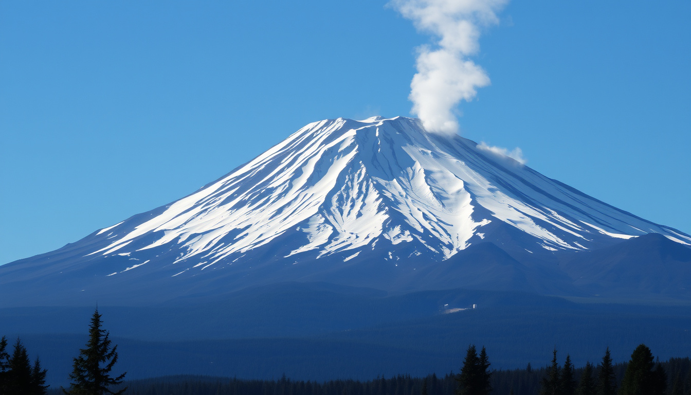
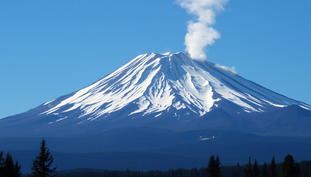
There’s a reason Mount Rainier draws thousands of climbers each year — it’s the most heavily glaciated peak in the contiguous U.S. and a stunning test of endurance. But the volcano beneath the glaciers is very much alive, and with over 400 recorded deaths, it’s one of the deadliest mountains for climbers (Wikipedia). This article examines the real dangers, from lahar hazards to climbing accidents, and what you need to know for a safe ascent.
Elevation: 14,406 ft (4,392 m) ·
Last Eruption: 1894 ·
Fatalities (Historical): Over 400 ·
Major Glaciers: 25 ·
First Ascent: 1870 by Hazard Stevens and P.B. Van Trump
Quick snapshot
- Mount Rainier is classified as a Very High Threat volcano by the U.S. Geological Survey.
- Lahars are the greatest volcanic threat to people and property downstream (U.S. Geological Survey).
- A lahar warning system using ground‑vibration detection has been in place since 1998 (U.S. Geological Survey Fact Sheet 034‑02).
- Over 400 deaths have been recorded on Mount Rainier since records began (Wikipedia). (U.S. Geological Survey)
- Exact timing of the next eruption: USGS says future eruptions are certain but cannot be predicted (U.S. Geological Survey).
- Whether the lahar warning system would provide enough time for all at‑risk communities to evacuate (CNN).
- Annual fatality totals vary widely; recent averages are uncertain (SFGATE).
- Last confirmed eruption: 1894 (Wikipedia). (U.S. Geological Survey)
- At least 11 significant lahars reached the Puget Lowlands in the last 6,000 years (CNN). (U.S. Geological Survey)
- Lahar warning system installed in 1998 (U.S. Geological Survey).
- USGS continues monitoring with a network of seismometers and GPS stations (U.S. Geological Survey).
- Pierce County maintains the lahar warning system (Wikipedia). (U.S. Geological Survey)
- Climbers should expect continued park‑wide safety advisories and possible closures (National Park Service).
Of the key facts about Mount Rainier, a few stand out as essential context for anyone planning a visit or living in its shadow.
| Attribute | Value | Source |
|---|---|---|
| Elevation | 14,406 ft (4,392 m) | Wikipedia |
| Last eruption | 1894 | Wikipedia |
| Volcano threat level | Very High (USGS) | U.S. Geological Survey |
| Primary hazard | Lahars (volcanic mudflows) | U.S. Geological Survey |
| Historical deaths (climbing) | Over 400 | Wikipedia |
| Major glaciers | 25 | Wikipedia |
| First ascent | 1870 (Hazard Stevens & P.B. Van Trump) | Wikipedia |
| Lahar warning system | Operational since 1998 | U.S. Geological Survey |
| Average annual deaths (recent) | ~5 per year (as of 2026 report) | SFGATE |
| Most common cause of death | Falls (58% of incidents, 1977‑1997) | Science.gov topic summary |
What is the fatality rate of Mt. Rainier?
Mount Rainier’s fatality record is among the highest of any U.S. peak. A review of 50 deaths from 1977 through 1997 found that 58% were caused by falls and 34% by avalanches, with incidents occurring at an average altitude of 11,977 feet (Science.gov). More recently, a 2026 report noted that the park averages about five deaths per year, though 2020 saw 14 fatalities (SFGATE).
Historical climbing fatalities on Mount Rainier
- Over 400 deaths have been recorded since records began (Wikipedia).
- From 1977‑1997: 50 deaths in 29 separate incidents (Science.gov).
- 2026 report: 14 deaths in 2020, two in the prior year referenced (SFGATE).
- Recent Wilson Glacier deaths attributed to blunt force injuries (SFGATE).
Comparison with other Cascade volcanoes
Two Cascade volcanoes, one pattern: Mount Rainier dominates the fatality statistics while others steal the danger headlines.
| Volcano | Elevation | Last eruption | Historical climbing deaths | Primary hazard |
|---|---|---|---|---|
| Mount Rainier (WA) | 14,406 ft | 1894 | Over 400 | Lahars |
| Mount St. Helens (WA) | 8,363 ft | 2008 (minor) | ~60 (including 1980 eruption) | Volcanic blast, ashfall |
| Mount Hood (OR) | 11,240 ft | 1866 (fumarolic) | ~30 | Glacial outbursts, rockfall |
| Mount Baker (WA) | 10,781 ft | 1880 | ~10 | Steam explosions, lahars |
The implication: Mount Rainier is far deadlier for climbers than its Cascade neighbors, largely because of its combination of technical difficulty, glacier volume, and year‑round climbing traffic.
Factors contributing to accidents
- Falls: the leading cause, often due to ice, rockfall, or loss of footing on steep terrain (Science.gov).
- Avalanches: 34% of deaths in the 1977‑1997 review (Science.gov).
- Exposure and altitude sickness: common among ill‑prepared climbers (National Park Service).
- Crevasse falls on glaciers: a persistent risk even for experienced mountaineers (National Park Service).
The average climber is not a professional mountaineer, yet Mount Rainier demands professional‑level judgment. The park’s own safety guidance warns that scaling the mountain is “technically and physically demanding” (National Park Service).
Mount Rainier specifications
Nine key specs, one takeaway: the mountain’s scale and glacial mass make it a uniquely dangerous climbing objective.
| Specification | Detail | Source |
|---|---|---|
| Elevation | 14,406 ft (4,392 m) | Wikipedia |
| Prominence | 13,211 ft (4,027 m) | Wikipedia |
| Glacier count | 25 named glaciers | Wikipedia |
| Ice/snow volume | ~1.25 cubic miles | U.S. Geological Survey |
| Lahar‑prone valleys | Puyallup, Nisqually, Carbon, White, Cowlitz | U.S. Geological Survey |
| Last eruption year | 1894 | Wikipedia |
| Volcano threat level | Very High | U.S. Geological Survey |
| Lahar warning system | Ground‑vibration sensors, sirens in Pierce County | U.S. Geological Survey Fact Sheet 034‑02 |
| First ascent | 1870 by Hazard Stevens and P.B. Van Trump | Wikipedia |
The scale of Mount Rainier’s ice volume and lahar history underscores why it is considered a very high threat.
Steps to climb Mount Rainier safely
- Train months in advance – The climb requires excellent cardiovascular fitness, strength, and glacier travel skills. The National Park Service advises that scaling the mountain is “technically and physically demanding.”
- Check the volcano status – USGS updates the alert level on its Mount Rainier activity page. A change to “Watch” or “Warning” means reconsider your plans.
- Get a climbing permit – Required for all climbs above 10,000 ft or on glaciers. Reserve through the park’s website.
- Hire a guide – Most fatal accidents involve unguided climbers. Authorized guide services provide training, gear, and route knowledge.
- Know the lahar evacuation routes – Pierce County maintains maps of lahar hazard zones and evacuation routes. Memorize your exit if you’re staying in the park or down‑valley communities.
- Carry proper gear – Crampons, ice axe, helmet, harness, and avalanche beacon are mandatory on glacier routes. The National Park Service provides a detailed equipment checklist.
- Monitor weather – Conditions change rapidly. The park’s weather forecast and avalanche advisories should be checked daily.
- Turn back early – The most common cause of rescue calls is pushing on past safe turnaround times. The mountain will still be there tomorrow.
Even with perfect preparation, Mount Rainier can kill in seconds — a single rockfall, a hidden crevasse, or a sudden lahar. No amount of training eliminates the volcano’s fundamental unpredictability.
The common thread across all these steps is that success on Rainier demands respect for the mountain’s volatility and your own limitations.
Timeline: Eruptions and lahar events
- 6,000 years ago – present: At least 11 significant lahars reached the Puget Lowlands (CNN).
- 1894: Last confirmed eruption (minor steam and ash) (Wikipedia).
- 1970s–1990s: Increased seismic monitoring leads to the USGS Very High Threat classification (U.S. Geological Survey).
- 1998: Lahar warning system installed by USGS and Pierce County (U.S. Geological Survey).
- 2020: 14 climbing deaths reported, highest recent year (SFGATE).
- 2024: CNN reports on lahar scenario modeling; a no‑notice lahar could reach inhabited areas in ~10 minutes (CNN).
- 2026: SFGATE reports on Wilson Glacier deaths and annual fatality data (SFGATE).
The timeline shows that while eruptions are rare, the lahar risk is persistent and the consequence of inaction is severe.
What we know and what’s unclear
Confirmed facts
- Mount Rainier is an active volcano classified as Very High Threat by the U.S. Geological Survey.
- Lahars are the greatest volcanic hazard (U.S. Geological Survey).
- A lahar warning system has been operational since 1998 (U.S. Geological Survey).
- Over 400 climbing deaths have been recorded (Wikipedia).
What’s unclear
- Exact timing of the next eruption — USGS says it’s certain but unpredictable (U.S. Geological Survey).
- Whether the warning system would give enough time for all communities to evacuate — a no‑notice lahar could reach inhabited areas in ~10 minutes (CNN).
- Annual fatality totals vary widely; recent averages are based on limited data (SFGATE).
- At least 11 lahars have reached the Puget Lowlands in the last 6,000 years (CNN).
- Falls caused 58% of deaths in a 1977‑1997 review (Science.gov).
- Recent years average about five deaths per year (SFGATE).
The key takeaway is that while the geological facts are well understood, the human and logistical response to a major event remains uncertain.
Expert perspectives
“Mount Rainier is one of the most dangerous volcanoes in the United States because of its lahar hazard and proximity to populated areas.”
— U.S. Geological Survey
“Scaling Mount Rainier is technically and physically demanding. Be prepared for a safe climb.”
“A future eruption could generate lahars that descend river valleys on any side of Mount Rainier, reaching the densely inhabited Puget Sound lowland.”
— U.S. Geological Survey
“The lahar warning system uses ground‑vibration detection to identify debris flows and give people time to move to higher ground.”
— U.S. Geological Survey Fact Sheet 034‑02
Mount Rainier is not a dormant icon — it’s a ticking geological hazard wrapped in a climber’s trophy. For the 2 million people living in the lahar‑prone valleys around the mountain, the implication is clear: know your evacuation route, monitor USGS alerts, and never mistake beauty for safety. For the climber, the choice is equally stark: train like a professional, hire a guide, and respect the mountain’s ability to kill without warning — or stay off the volcano.
Frequently asked questions
Why is Mount Rainier famous?
Mount Rainier is the highest peak in the Cascade Range and the most heavily glaciated mountain in the contiguous U.S. Its iconic silhouette dominates the Seattle skyline, and it draws climbers from around the world. But it’s also famous as one of the most dangerous volcanoes in the country due to its lahar risk (U.S. Geological Survey).
Is Mount Rainier a threat?
Yes. USGS classifies it as a Very High Threat volcano. The primary threat is from lahars — volcanic mudflows that could reach populated areas in minutes (U.S. Geological Survey).
What will happen if Mount Rainier erupts?
An eruption could generate lahars that descend river valleys on any side, reaching the Puget Sound lowland. Ashfall could affect air travel and water supplies. The exact impact depends on the size and location of the eruption (CNN).
How many bodies are on Mount Rainier today?
No official public count exists. The historical total of over 400 deaths includes many remains that were recovered, but some climbers have never been found due to glaciers, avalanches, and crevasses.
Which mountain has killed the most climbers?
Among U.S. peaks, Mount Rainier is often cited as having the highest number of climbing fatalities — over 400. Only Mount Everest (outside the U.S.) has a higher confirmed death toll (Wikipedia).
Who is at risk if Mt. Rainier erupts?
The roughly 2 million people living in the valleys that drain from Mount Rainier are at risk, especially those in the Puyallup, Nisqually, Carbon, White, and Cowlitz river valleys. The lahar warning system covers Pierce County (U.S. Geological Survey).
Is Mt Rainier red alert?
No. As of 2025, the alert level is “Normal” (green). USGS updates the status on its Mount Rainier activity page.
How tall is Mount Rainier?
14,406 feet (4,392 meters) above sea level (Wikipedia).
When did Mount Rainier last erupt?
The last confirmed eruption was in 1894, involving minor steam and ash emissions (Wikipedia).
These answers should provide a baseline understanding, but anyone planning a visit should consult the primary sources listed above.
Related reading
Related stories





Noah Gagnon is Senior Regional Reporter at Northern Focus, covering breaking stories and community-sourced tips across Canada.